State Land Survey Division Digitizing Maps To Help Public
Posted on Aug 16, 2025 in Main
Map of ‘Ewa, Oahu from 1887
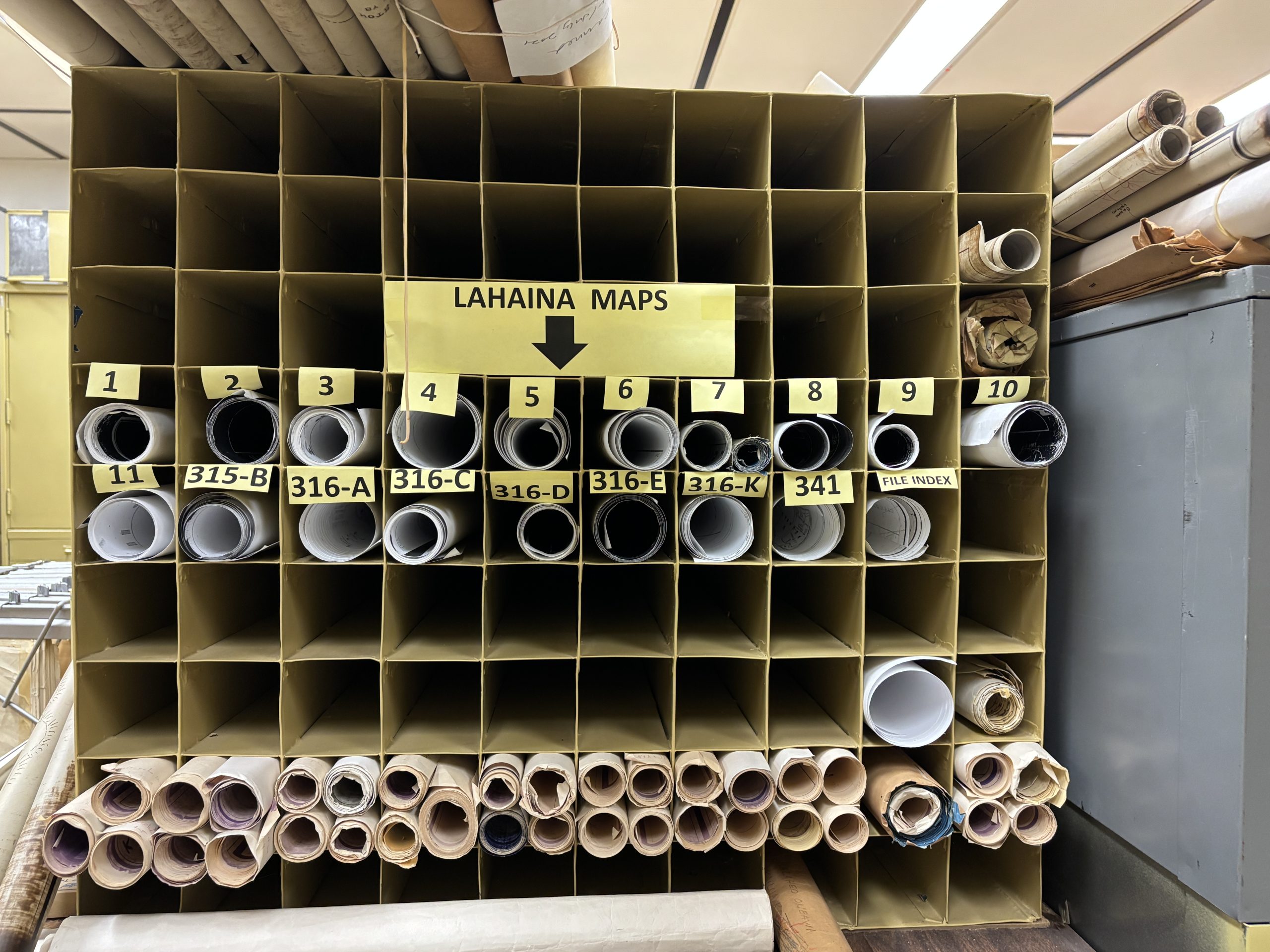
Rolled up maps of Lahaina at DAGS Land Survey Division
HONOLULU — What did Hawaiʻi look like during the monarchy? What did it look like shortly after the Great Māhele — the Hawaiian land distribution system — took effect? Those are questions the state’s Land Survey Division (Land Survey), a division of the State Department of Accounting and General Services (DAGS), can answer from a cartography perspective. Now, it is planning to provide that information online.
This decades-long project started just after the turn of this century with Land Survey digitizing all the maps it has, some which go back to 1871 — the year the division opened. That’s about 90,000 maps reflecting all main Hawaiian Islands. There are many other maps it cannot digitize due to the size or frail condition of the parchment. The public can view other maps online for free at https://dags.hawaii.gov/maps/search/index.php.
The work continues now with transferring all those maps to a free, online, searchable map service so people can look for the information they need at their convenience. Training began recently on Esri Software for staffers at Land Survey.
“This will save people time and money by allowing them to find the information online, at any time of day. Right now, people usually hire a professional, like a title expert, to help them. When we launch this map service, people will be able to type their address or tax map key in and have the state survey information on the parcel come up,” said DAGS Director and Comptroller Keith Regan.
Land Survey Administrator Reid Siarot continued, “Often, people need this information when they’re getting building permits. Also, when one is building a new structure or even a wall, there are associated regulatory issues, so the landowner needs to know where their setback lines are and if there are easements on the property.”
Siarot estimated it will take a few years before his division can launch the service, which he likens to any of the ubiquitous, name-brand map services that are already familiar to people.
Aside from the practical need, there have been customers who just want to know more about Hawaiian land history and their family’s role in it. “Many people want to know more about their family’s ancestral lands. For instance, some peoples’ kūpuna [ancestors or elders] received an award in the Great Māhele process, and the descendants just want to see what the conditions of the land were at the time, who their neighbors might have been, what structures were there at the time. People also like to see how the lands changed over time,” shared Siarot. “Hawaiʻi is a unique place. And history and culture are all tied to place.”
